Fine-Scale Positioning
Precise tracking. Deeper insights.
Specialized acoustic telemetry arrays enable precise tracking of aquatic animals, delivering fresh insights into animal behavior and ecology. Our expert analysts and consultants work one-on-one with researchers to help them monitor animal movement patterns with fine-scale positioning. Knowing where animals have been with a high degree of precision and accuracy leads to greater insights and understanding of behavior and habitat use.
Find the location of key events
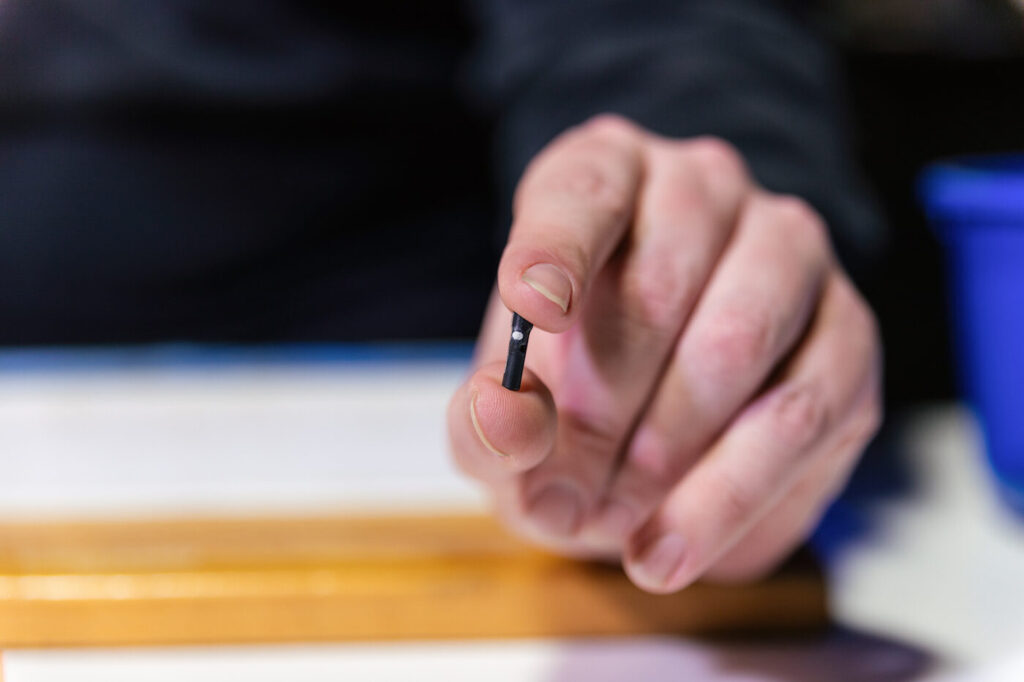
Fine-scale positioning provides the ability to track animal movements within centimeters as often as every few seconds. This precision helps identify the time and place of critical behavior such as spawning and the use of key habitats like nurseries or marine protected areas.
Identify pathways and generate 3D visualizations
Fine-scale positioning can identify important specific paths animals are taking around physical barriers during migration and help identify environmental conditions that might make them susceptible to mortality. With the use of a depth-sensing tag, you can now get a three-dimensional picture of where animals are in the water column.
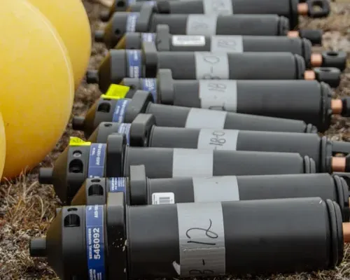
System recommendation: 69 kHz, 180 kHz, and 307 kHz tags and corresponding receivers depending on species size and environmental conditions
Available sensor options: Temperature, depth, acceleration, predation
Study support solutions
We offer three types of study solutions to guide you from design to final report:
- Expert positioning services – Deploy your system with study design guidance from our experts and collect data over time. Then download and send your raw data files to us for comprehensive data analysis and a final report with calculated positions.
- DIY software – Use Fathom Position to conduct your own positioning analyses of acoustic telemetry datasets.
- Full-service solutions – Our experienced consultants provide complete solutions from study design to the final CSV report.
See what’s possible
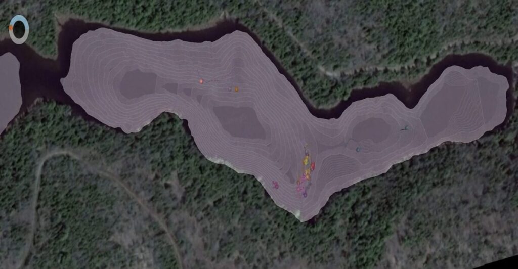
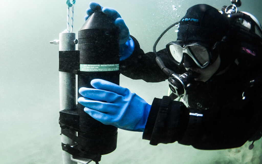
For this study, brook trout (Salvelinus fontinalis) were outfitted with temperature and depth transmitters that reported data every 10-12 seconds. HR2 High Residence Receivers were deployed throughout the lake to provide information on temperature preference and 3D movement data. Watch the video to see the trout in action.
Note: Customer used GIS software to generate animal movement video based on Innovasea CSV data file.